

Key Takeaways
How Coverage Maps Are Built - and Why That Matters
When a carrier publishes a coverage map, it is not plotting millions of real signal readings on a grid. Instead, these maps are generated using propagation modeling - software that estimates how a signal should travel from a tower, given known variables like tower height, transmit power, and general terrain data.
The result is a mathematical prediction, not a measurement. Factors that the model often cannot fully account for include building density, foliage, local geography, and even atmospheric conditions. This is why a street shown as covered on a map may deliver weak or no service inside a thick-walled building a block from the tower.
Understanding this distinction is the foundation of reading any coverage map critically. For a plain-language breakdown of the technical terms carriers use around signal and network types, see Mobile Carrier Jargon, Decoded.
What the Colors and Shading Actually Mean
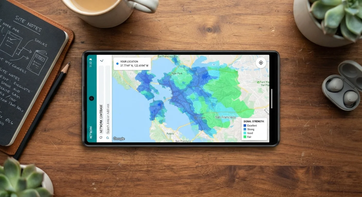
Most carrier maps use colored shading to distinguish network types - typically separating 4G LTE coverage from different tiers of 5G. But the shading conventions vary by carrier, and broad colored zones can mask significant variation in actual signal strength within them.
A few things to keep in mind when reading the visual:
- Outdoor coverage only: Maps almost always represent expected signal outdoors, at or near ground level. Indoor penetration - through walls, floors, and ceilings - is not shown and can reduce signal substantially.
- No speed guarantees: Being inside a covered zone tells you nothing about download speed, latency, or network congestion at any given time.
- 5G is not uniform: A 5G designation on a map may refer to low-band 5G (wide coverage, modest speeds) or mid/high-band 5G (faster, but shorter range). These perform very differently. 5G Explained details why coverage varies so dramatically even within the same network label.
Maps Are Updated Periodically, Not in Real Time
Carrier coverage maps reflect the network as modeled at the time of the last update, which may lag actual tower builds or outages by weeks or months. A newly built tower in your area may not yet appear, while a decommissioned site might still show as active. Treat any map as a starting estimate rather than a live snapshot.
Better Ways to Evaluate Real-World Coverage
Because official maps have inherent limitations, it pays to consult additional sources before committing to a plan.
Check independent, crowdsourced signal databases before relying on a carrier's own map.
Crowdsourced platforms aggregate real speed tests and signal reports submitted by actual users in specific locations. This data reflects what people experience on the ground, not what a model predicts. It surfaces problem areas - such as a notoriously weak corridor or a dead zone in a parking garage - that polished carrier maps rarely acknowledge.
Ask neighbors, coworkers, or locals which carrier they use and how service performs at locations you frequent.
People who live and work in your specific area have already run the experiment. Their real-world experience at the addresses that matter to you - your home, office, gym, or family member's house - is more actionable than any map.
Use a carrier's trial period or money-back window to test service at your actual locations before fully committing.
Many carriers offer a trial period during which you can test service and receive a refund if coverage is unsatisfactory. This is the only method that eliminates all modeling uncertainty - you are testing the actual network at the places that matter to your life.
Look at coverage maps in satellite or terrain view, not just the abstract map layer.
Overlaying a coverage map on satellite imagery reveals whether a colored zone spans dense urban blocks, forested hills, or open farmland - context that dramatically affects what the modeled signal means in practice. Valleys and ridgelines that block signals become visible.
If you are considering a carrier that operates as an MVNO - a company that resells network capacity from a major carrier - coverage questions become even more nuanced. What Is an MVNO - and Should You Care? covers how these arrangements affect service priority and what to watch for.
Before You Sign: Quick Wins for Coverage Research
A little legwork before you commit to a plan can save significant frustration. The following actions take minimal time but can meaningfully sharpen your picture of real-world coverage.
For a full pre-signup checklist - covering data policies, contract terms, and fees alongside coverage - see Phone Plan Shopping: What to Verify Before You Sign Up.